GIS DESKTOP

Create, Analyse & Publish

SODAT Company IS NOT A SOFTWARE PUBLISHER


We are an integrator of GIS solutions and cultivate our independence through our projects in which we recommend the most suitable desktop GIS software. We always adapt our offer to the customer's needs.

ARCGIS Windows

ArcGIS for Desktop is a powerful geographic information system (GIS) software developed by Esri. It allows users to create, analyze, visualize, and manage spatial data effectively. ArcGIS for Desktop comprises several applications, including ArcMap, ArcCatalog, and ArcToolbox, providing tools for mapping, data management, spatial analysis, and geoprocessing. Users can create maps, perform spatial analyses, manage geographic data, and build custom applications to address various spatial challenges in fields like urban planning, environmental science, natural resource management, and more. ArcGIS for Desktop is widely used by professionals and organizations to make informed decisions based on geographical data.

QGIS | OPEN SOURCE Windows

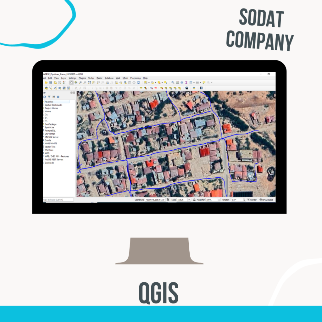
QGIS, which stands for Quantum GIS, is an open-source geographic information system (GIS) software. It’s a robust and user-friendly platform that allows users to create, edit, visualize, analyze, and manage spatial data. QGIS supports a wide range of vector, raster, and database formats, making it versatile for handling various types of geographic data.

One of the key strengths of QGIS is its extensibility and flexibility. It offers a vast array of plugins and tools contributed by a global community, allowing users to customize and extend its functionality according to their specific needs. QGIS provides tools for mapping, geoprocessing, spatial analysis, and data visualization, catering to professionals and enthusiasts in fields such as geography, environmental science, urban planning, and many others.